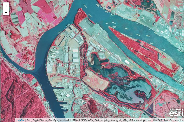
I’m excited to see support for ArcGIS image services landing in Esri Leaflet Beta 6. In addition to serving up raster data such as imagery and digital elevation models, image services provide powerful analytical capabilities. Now Leafelt users can visualize infrared imagery and LiDAR data, get the elevation where a user clicks, and much more. I’m looking forward to seeing how the Leaflet community brings these new capabilities into their applications.
Continue reading “ArcGIS Image Service Support in Esri Leaflet”